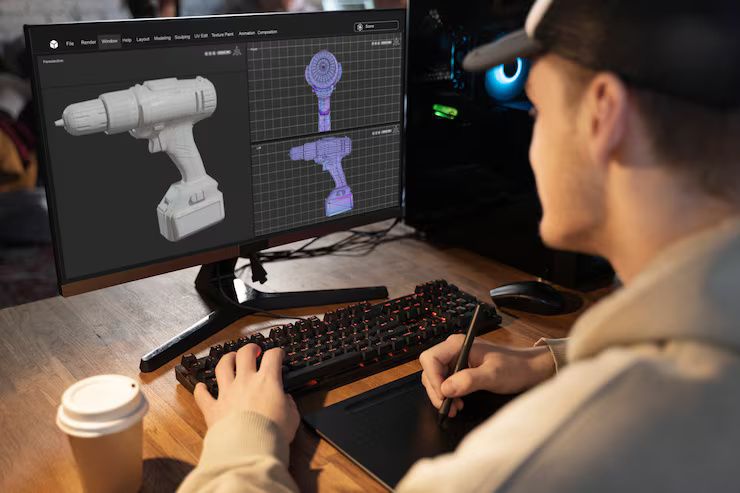
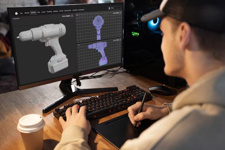
3D laser scanning is a modern method of capturing the shape and dimensions of physical objects or spaces using laser technology. It works by directing laser beams toward surfaces and measuring the time or phase shift it takes for the light to return. These measurements are used to create highly accurate three-dimensional digital models, known as point clouds.
This technology exists to offer a fast, non-invasive, and precise way to document real-world environments. It’s widely used in industries like construction, architecture, manufacturing, archaeology, and even forensics. Whether it’s documenting a historic building, scanning a factory floor for design upgrades, or modeling terrain for civil engineering, 3D laser scanning provides the foundation for digital precision.

Why 3D laser scanning matters today
In today’s data-driven and design-focused world, accurate spatial information is essential. 3D laser scanning has become crucial due to its ability to provide fast, detailed, and scalable data capture for a wide variety of projects.
Key benefits of 3D laser scanning include:
-
Accuracy: Reduces measurement errors in construction and design.
-
Efficiency: Speeds up data collection for large or complex environments.
-
Safety: Allows remote scanning of hazardous or hard-to-reach locations.
-
Visualization: Produces 3D models for planning, simulation, and communication.
-
Documentation: Useful in restoration, maintenance, and record-keeping.
Who benefits from it?
-
Architects and Engineers: Use scans to design around existing structures.
-
Construction Teams: Monitor progress and verify builds match plans.
-
Manufacturers: Reverse engineer or inspect parts with precision.
-
Cultural Heritage Experts: Preserve historical sites digitally.
-
Urban Planners: Map cities or infrastructure accurately.
As industries shift toward digital transformation, 3D laser scanning plays a central role in Building Information Modeling (BIM), smart city planning, and digital twins—digital replicas of physical assets used for analysis and prediction.
Recent updates and trends in 3D laser scanning (2024–2025)
The past year has brought several technological and industry updates that are shaping the future of 3D laser scanning services.
| Trend or Update | Description |
|---|---|
| Mobile scanning | The rise of handheld and mobile LiDAR scanners (e.g., iPhone Pro models with LiDAR) allows professionals and non-experts to capture spatial data quickly. |
| Integration with AI | AI is now being used to process point cloud data faster and more accurately, reducing manual workload. |
| Cloud collaboration | Cloud-based platforms like Autodesk Construction Cloud and Trimble Connect enable teams to access and share scan data remotely. |
| Drone scanning | UAVs equipped with laser scanners are used for terrain mapping and infrastructure inspection, especially in remote or large areas. |
| Affordable hardware | More budget-friendly devices have emerged, making scanning more accessible to small businesses and educational institutions. |
In February 2025, Leica Geosystems introduced an updated version of their BLK360 G2 scanner with faster capture speed and improved image resolution. Similarly, FARO and Trimble released updates to their scanning platforms, emphasizing automation and AI compatibility.
Laws and regulations affecting 3D scanning services
3D laser scanning is influenced by various regulations, especially where privacy, safety, and data protection are concerned. While no global law governs the use of this technology, several national and industry-specific rules apply:
| Region or Industry | Regulation Focus | Example |
|---|---|---|
| Europe (GDPR) | Data protection | Scanned environments that include identifiable people must follow consent laws. |
| USA (FAA) | Drone usage | Drone-based 3D scanning must comply with FAA regulations regarding commercial UAV flights. |
| Construction (ISO 19650) | BIM standards | 3D scan data used in BIM projects should align with global information management standards. |
| Public Spaces | Surveillance laws | Capturing data in public areas may require permits or adherence to local surveillance policies. |
Users must ensure that the collection, storage, and sharing of 3D data does not violate personal privacy or intellectual property rights. For construction and infrastructure projects, following established BIM and documentation standards is often a legal and contractual requirement.
Tools, software, and services for 3D laser scanning
Beginners looking to understand or use 3D scanning can start with a range of accessible and professional-grade tools and platforms:
Hardware tools:
-
FARO Focus Series – Widely used for architecture and construction scans.
-
Leica BLK360 – Compact and user-friendly scanner ideal for small projects.
-
Trimble X7 – Robust and automated for professional surveyors.
-
iPhone 15 Pro LiDAR – Entry-level scanning using built-in sensors.
Software platforms:
-
Autodesk ReCap – Processes and manages scan data for design workflows.
-
CloudCompare – Open-source tool for 3D point cloud editing and comparison.
-
RealityCapture – Converts scan data into 3D models and mesh outputs.
-
Sketchfab – Web-based platform to view and share 3D scans interactively.
Service providers:
-
Independent scanning firms offer project-based services including scan-to-BIM, 3D modeling, and drone scanning. These services are often used for construction documentation, industrial inspections, and real estate visualization.
Learning and training resources:
-
YouTube tutorials on LiDAR and 3D scanning workflows
-
Autodesk Learning Hub and FARO Academy
-
Online courses on platforms like Coursera or Udemy for point cloud processing and modeling
Beginners are encouraged to start with simple, consumer-grade tools and gradually explore professional options based on their project needs.
Frequently Asked Questions (FAQs)
What is a point cloud in 3D scanning?
A point cloud is a collection of millions of 3D data points captured by the scanner. These points represent the surface geometry of the scanned object or environment. They can be processed to create 3D models or used for analysis.
Is 3D laser scanning safe for indoor use?
Yes. 3D scanners typically use Class 1 lasers, which are eye-safe and suitable for indoor environments. However, it's important to follow manufacturer guidelines and safety practices during use.
Do I need special software to view 3D scan data?
Yes. Specialized software like Autodesk ReCap, CloudCompare, or RealityCapture is required to view and process scan data. These tools allow you to clean, segment, and convert data into usable 3D formats.
How accurate is 3D laser scanning?
Accuracy depends on the scanner type and conditions. High-end scanners can achieve accuracy within 1–2 millimeters. Handheld or mobile scanners are generally less accurate but suitable for basic documentation or visualization.
Can 3D scanning be used outdoors?
Absolutely. Many 3D scanners are designed for outdoor use and are weather-resistant. Outdoor scanning is common in land surveying, infrastructure inspection, and environmental modeling.
Summary Table: Comparing Types of 3D Scanning Technologies
| Type of Scanner | Best Use Case | Accuracy | Portability | Example Device |
|---|---|---|---|---|
| Terrestrial Laser Scanner | Architecture, construction | High | Low | FARO Focus |
| Handheld Scanner | Small objects, quick scans | Medium | High | Artec Eva |
| Drone-based LiDAR | Terrain mapping, large sites | Medium-High | High | DJI Zenmuse L1 |
| Mobile Phone LiDAR | Entry-level scanning | Low-Medium | Very High | iPhone 15 Pro |
Final thoughts
3D laser scanning is an increasingly accessible and powerful tool for documenting the physical world in digital form. Whether you're a beginner exploring this field or a professional seeking to expand your digital workflows, understanding the basics of scanning technology is an important first step.
With applications across industries, recent innovations, and growing integration into design and engineering workflows, 3D laser scanning is set to become an essential part of how we interact with and shape our environments.

